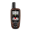
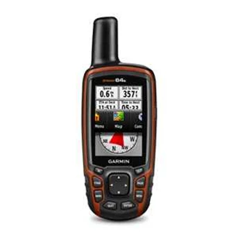
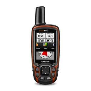
Detail GARMIN GPS 64s ALAT UKUR TANAH
Physical & Performance:
Physical dimensions 2.4" x 6.3" x 1.4" ( 6.1 x 16.0 x 3.6 cm)
Display size, WxH 1.43" x 2.15" ( 3.6 x 5.5 cm) ; 2.6" diag ( 6.6 cm)
Display resolution, WxH 160 x 240 pixels
Display type transflective, 65-K color TFT, transflective
Weight 9.2 oz ( 260.1 g) with batteries
Battery 2 AA batteries ( not included) ; NiMH or Lithium recommended
Battery life 16 hours
Water rating IPX7
Floats No
High-sensitivity receiver Yes
Interface high-speed USB and NMEA 0183 compatible
Maps & Memory:
Basemap Yes
Preloaded maps no
Ability to add maps Yes
Built-in memory 4GB
Accepts data cards microSD™ card ( not included)
Waypoints/ favorites/ locations 5000
Routes 200
Track log 10, 000 points, 200 saved tracks
Features & Benefits:
Automatic routing ( turn by turn routing on roads) Yes ( with optional mapping for detailed roads)
Electronic compass Yes ( tilt-compensated 3-axis)
Touchscreen No
Barometric altimeter Yes
Camera no
Geocaching-friendly Yes ( Paperless)
Custom maps compatible Yes
Photo navigation ( navigate to geotagged photos) Yes
Hunt/ fish calendar Yes
Sun and moon information Yes
Tide tables Yes ( with optional Bluechart)
Area calculation Yes
Custom POIs ( ability to add additional points of interest) Yes
Unit-to-unit transfer ( shares data wirelessly with similar units) Yes
Picture viewer Yes
Garmin Connect™ compatible ( online community where you analyze, categorize and share data) Yes
Additional
Smart Notifications: yes
Live Tracking: yes ( with Garmin Connect™ Mobile)
Tampilkan Lebih Banyak